If you like out of the way places, Mount Jefferson and Table Mountain are the places for you. And right now, the autumn foliage in both places are putting on a lovely show.
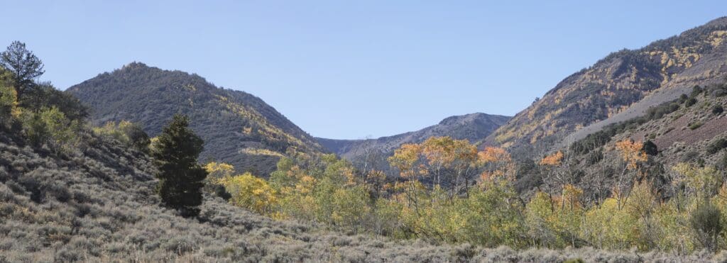
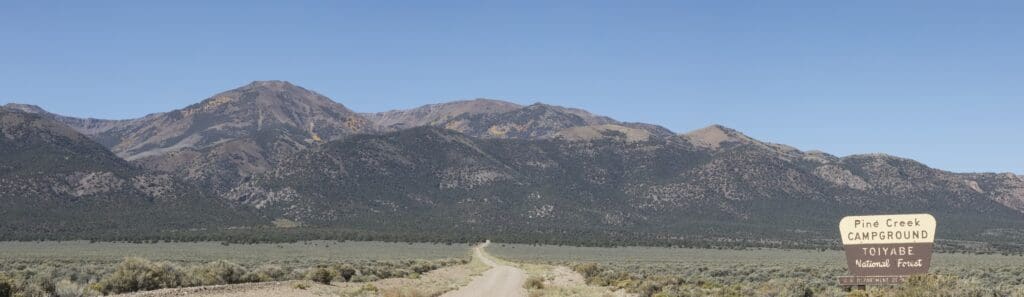
Mount Jefferson is located off Monitor Valley in the Alta Toquima Wilderness. You can see the color in the higher reaches as you drive along Monitor Valley Road. But to really immerse yourself in it, head up to the trailhead at Pine Creek Campground.
The Mount Jefferson summit, 11,941 feet, was once the site of a Native American village, the highest known settlement of Native Americans in North America.
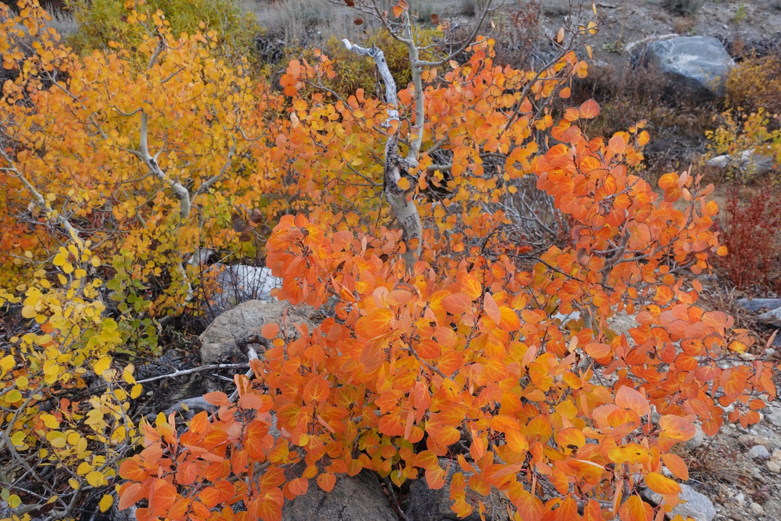
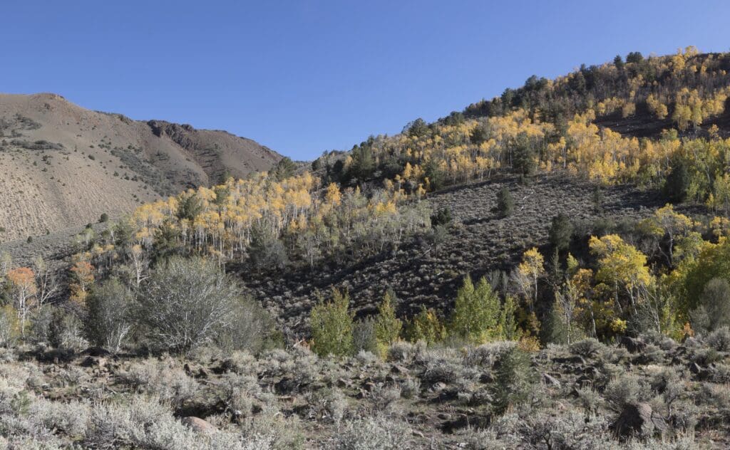
Fall color is peaking at around the 9,000 foot level, but you don’t have to walk that far up the trail to see it. From about two miles up the trail you’ll have views of the upper slopes.
From 8,200 to 9,000 feet fall color is getting better to near peak.
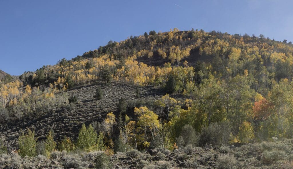
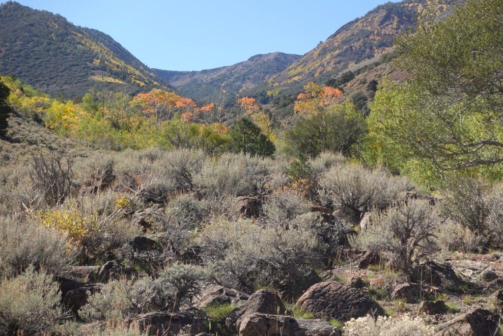
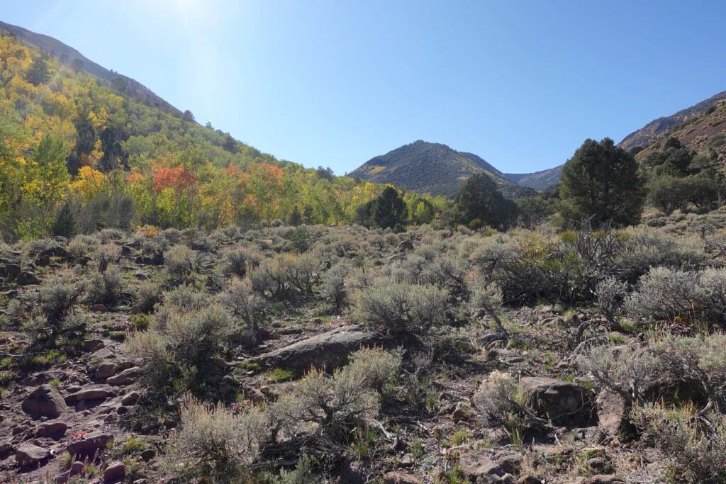
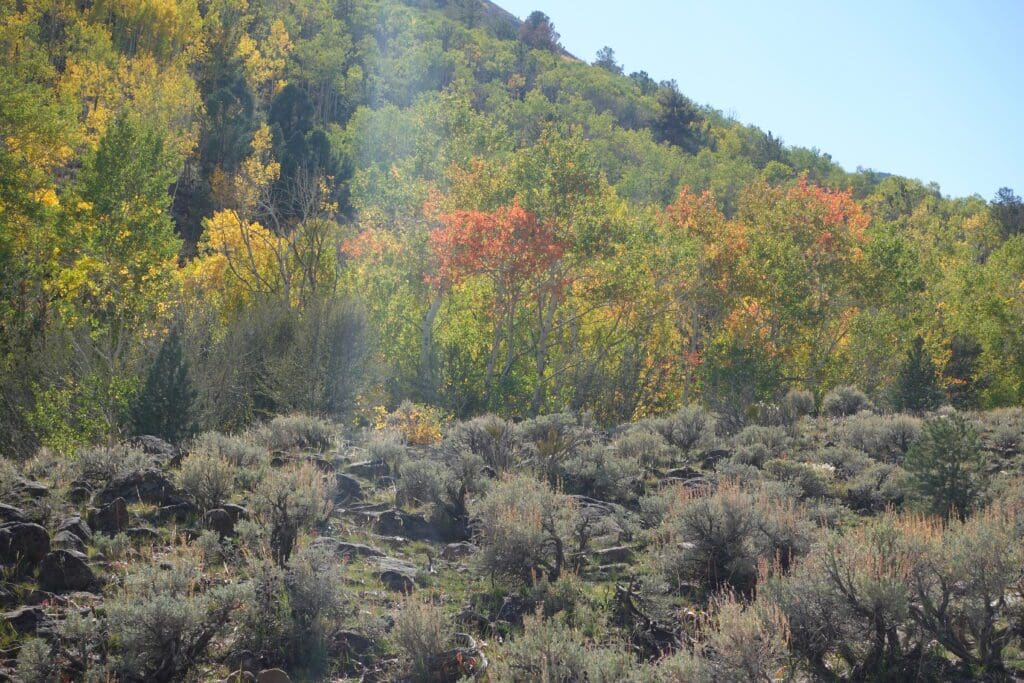
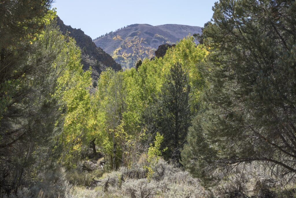
From Pine Creek Campground until below the 8,000 foot level, color is patchy, with splotches here and there of bright yellow. This part of the trail probably has a week or more to go before hitting its autumn stride.
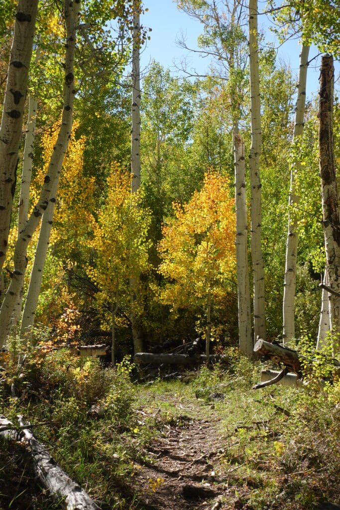
The trail up to Mount Jefferson is about 5.8 miles long and the last part of the trail is strenuous. The rest of the trek is moderate and makes for a more casual hike following the creek.
Warning: A few years ago, when we were hiking here in summer, we saw a big rattlesnake next to the trail. They’re probably gone for the season now, but watch your step just in case.
Table Mountain Fall Color Update
Table Mountain is on the opposite side of Monitor Valley from Mount Jefferson. One of the largest groves of aspens in the state grow on its slopes.
Right now, from mid-mountain to the summit, the aspens are at Peak. As you drive along Monitor Valley Road, you can see them turning or take one of the hiking trails in the Table Mountain Wilderness.
If You Go
Monitor Valley Road and Pine Creek Road leading to the Mount Jefferson trailhead are suitable for high-clearance vehicles and some standard passenger cars. I would NOT try the road in a car that is too low to the ground, like a Prius.
The most convenient place to spend the night if you’re hiking the trail is at Pine Creek Campground. Campgrounds start to close for the season in fall, so before you go call the Austin-Tonopah Ranger District at 775-964-2671 to find out if the campground is still open for the season. Also check the weather forecast to make sure there’s no chance of snow.
You can find lodging in various places throughout the area, but expect a long drive to the trailhead (Tonopah is about 90 minutes away).
To reach Table Mountain trailheads, you’ll need a high clearance car.
This whole area is extremely remote with no cell service. Taking along a spare tire and a tire repair kit is always a good idea. We also recommend getting a map from the Forest Service.
Mt. Jefferson Fall Color Update
Above 9,000 Feet: At Peak (75%)
8,200 – 9,000 Feet: Getting Better (50%) to Near Peak (60%)
Pine Creek Campground: Patchy (10%)
Pine Creek Canyon up to 8,000 Feet: Patchy (20%)
Table Mountain Fall Color Update
Mid-Mountain to Summit: At Peak (100%)